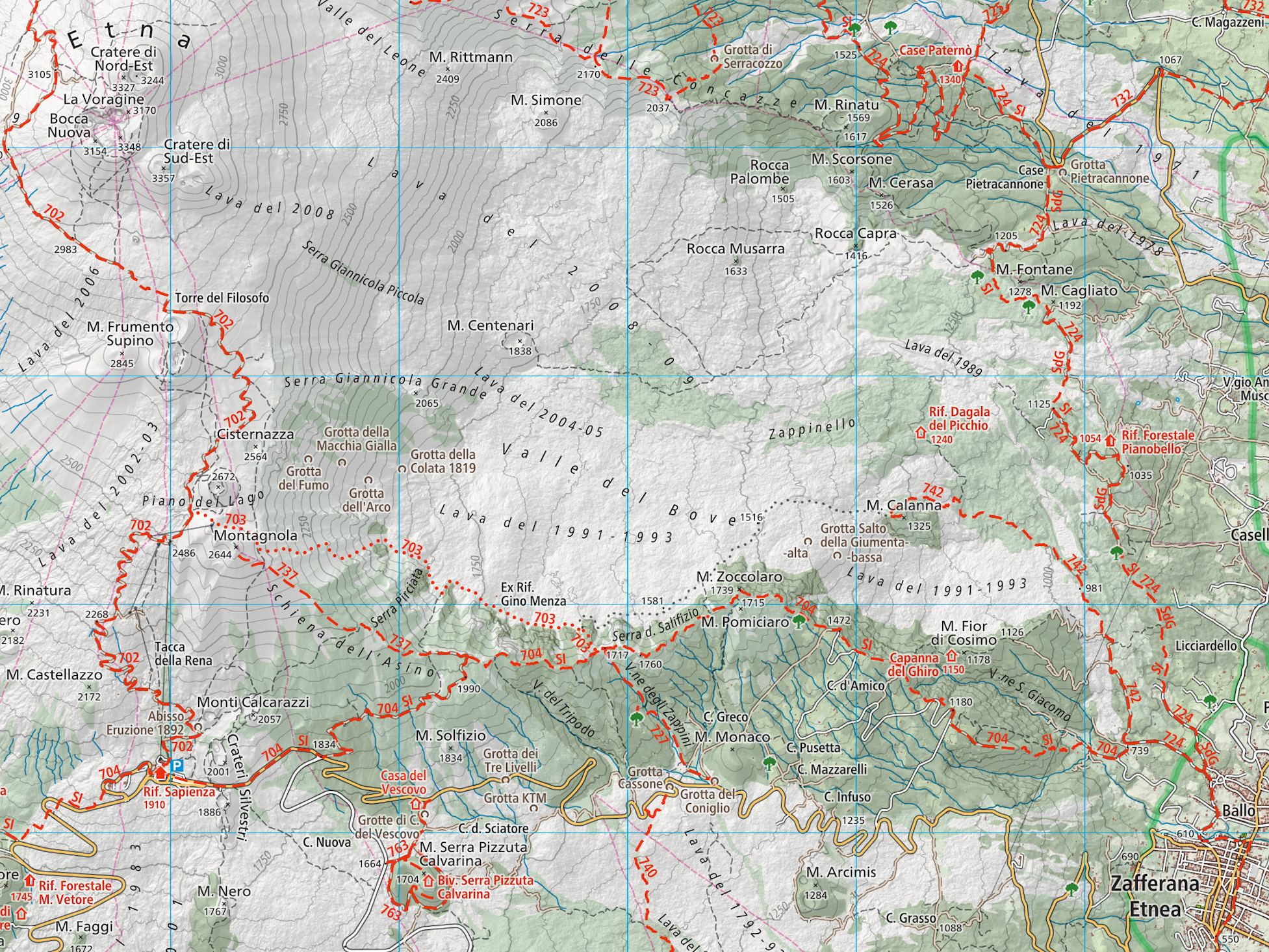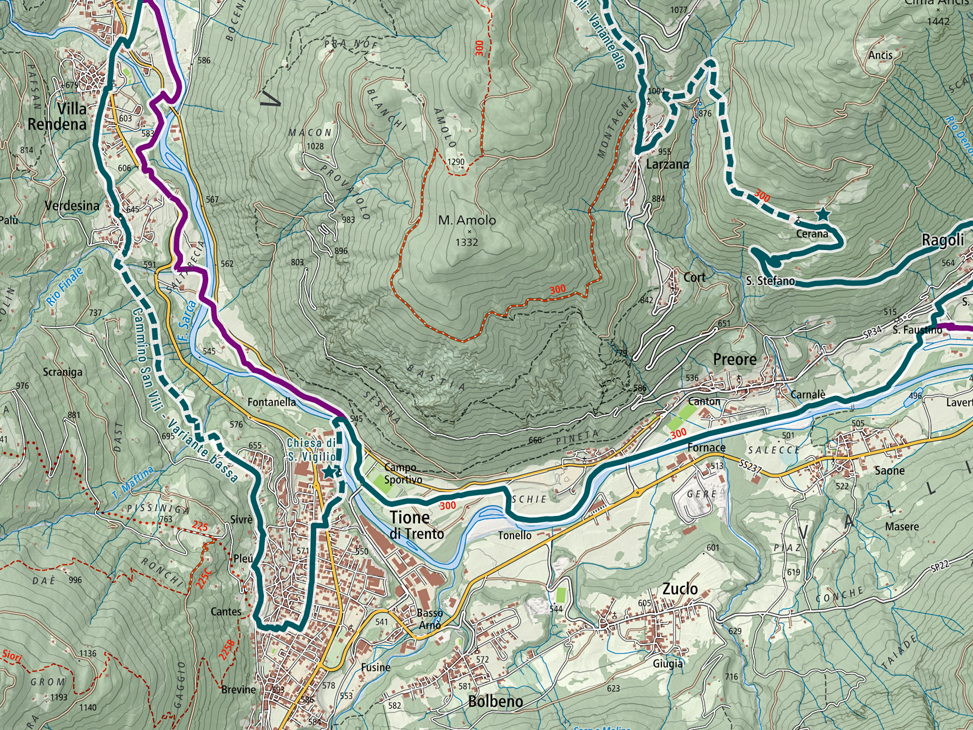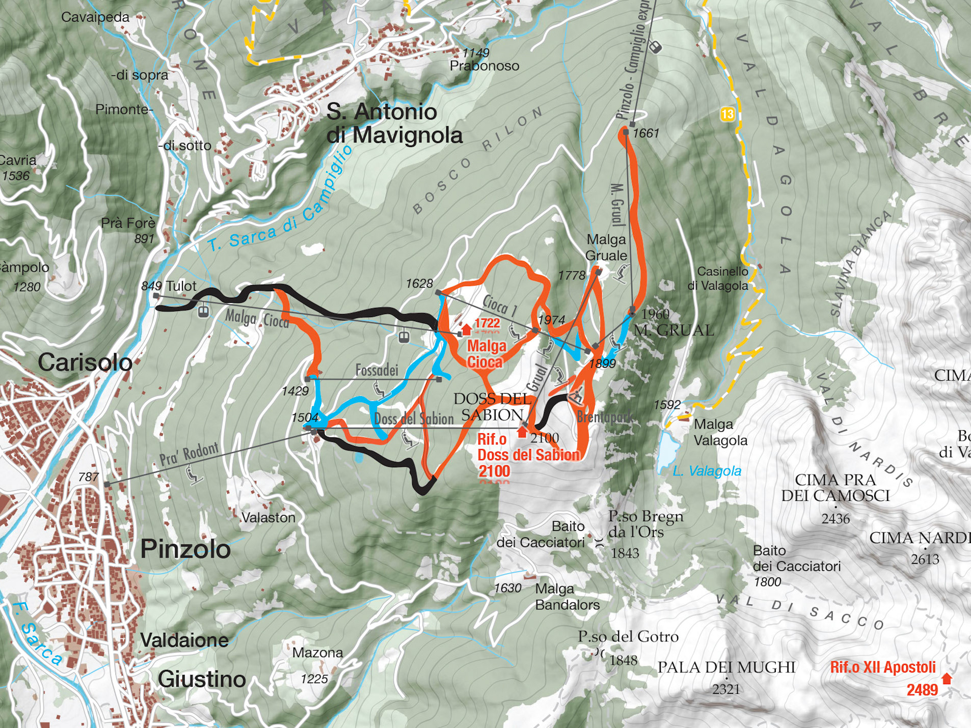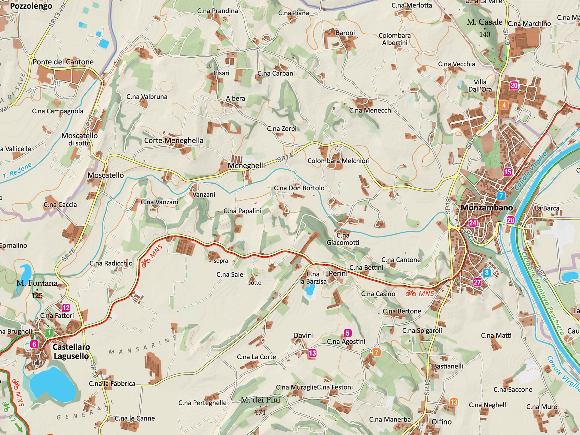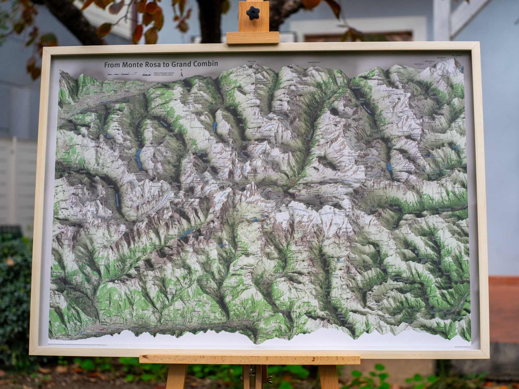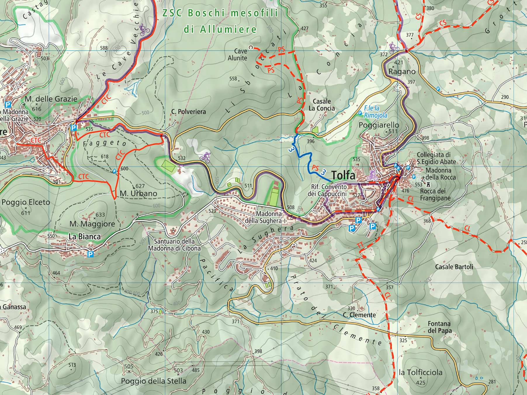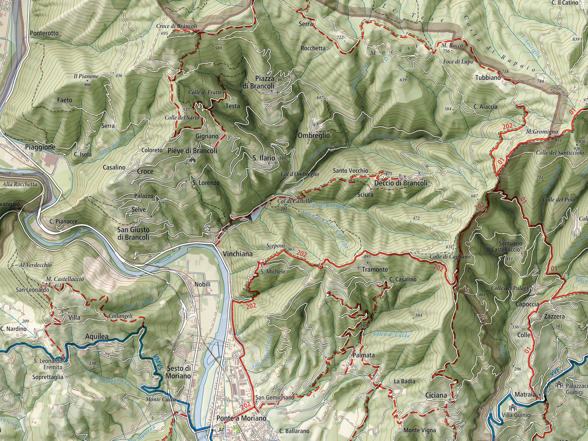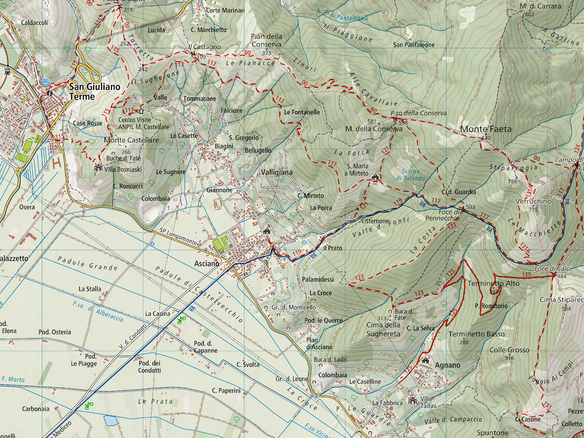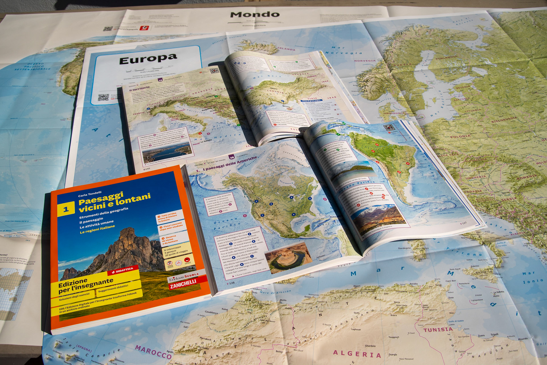
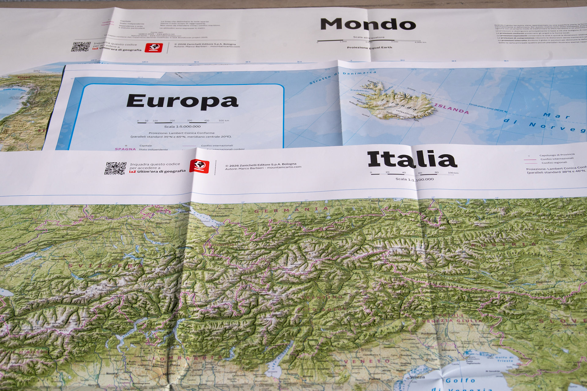
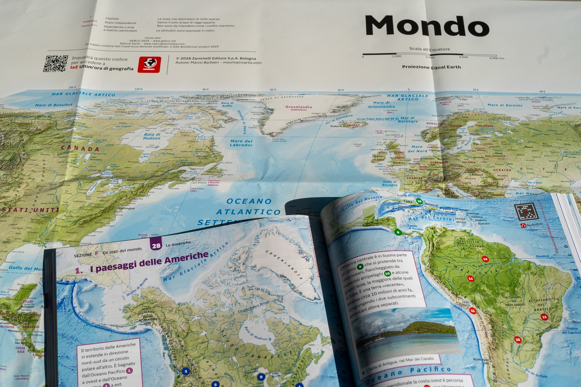
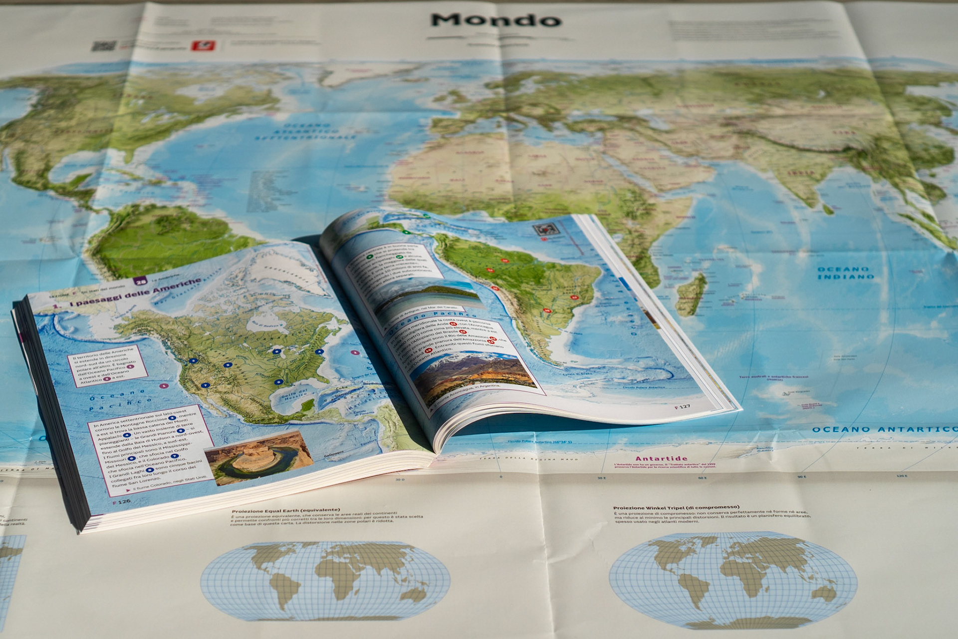
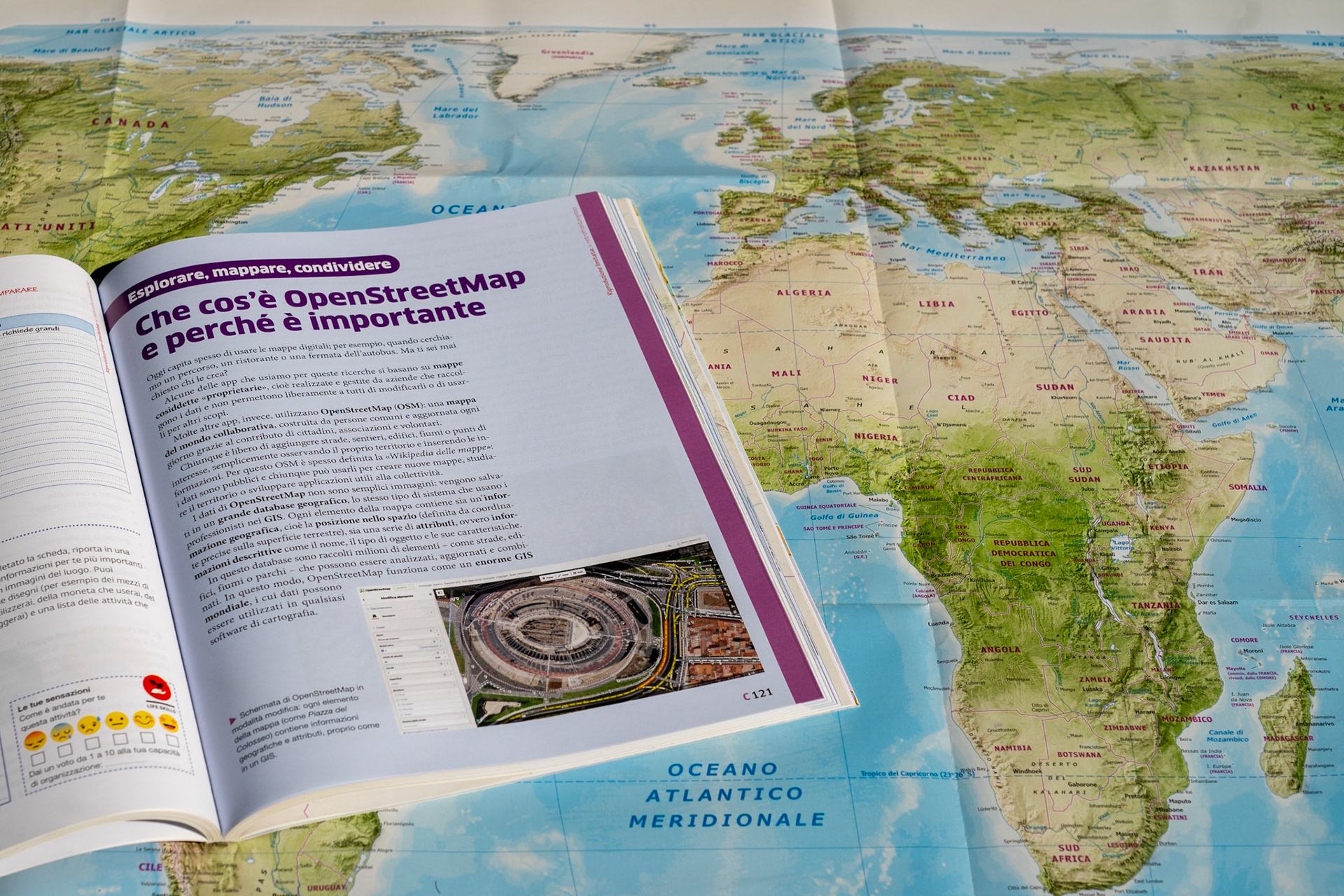
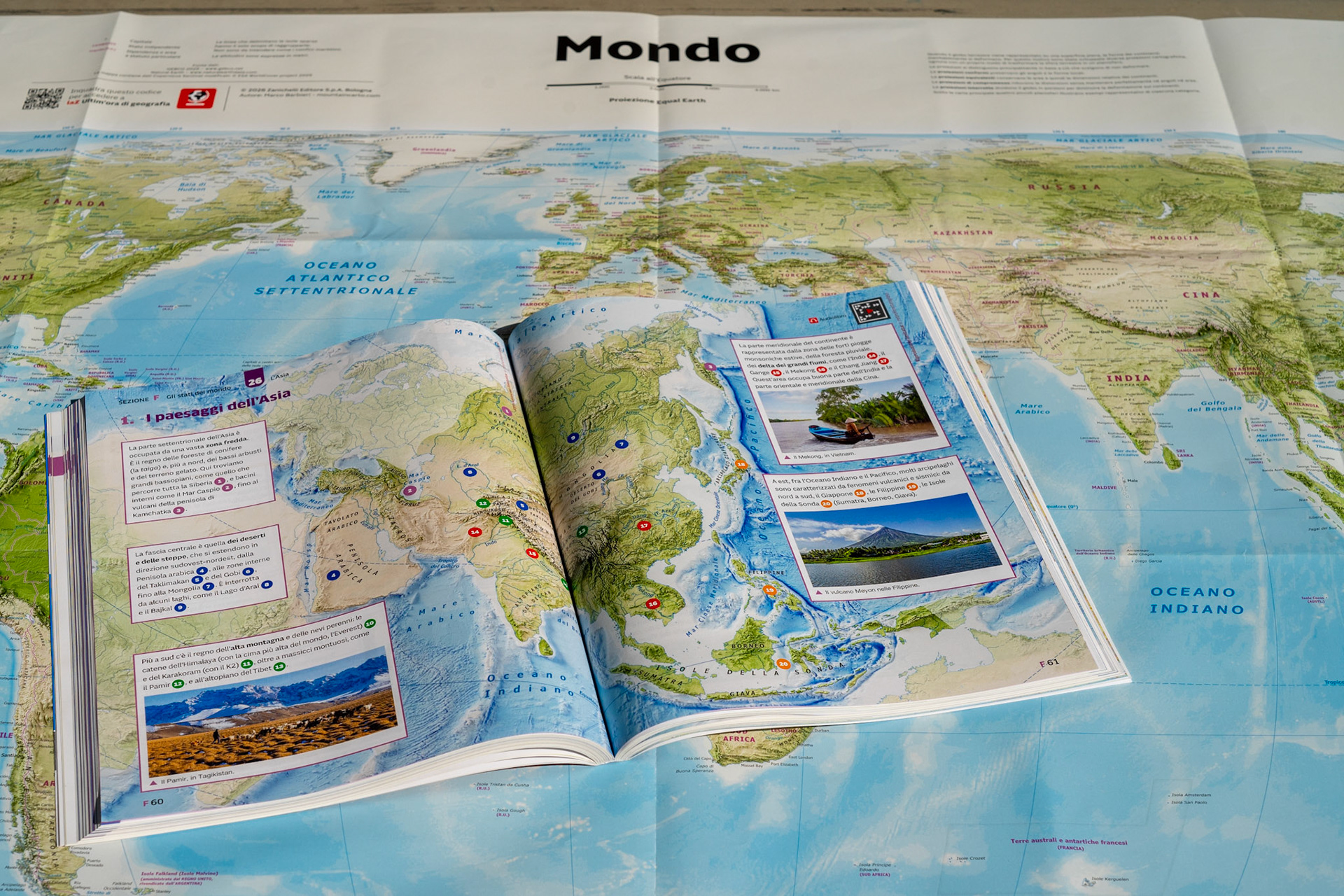
Wall maps of the World, Europe and Italy for Zanichelli's middle school geography series Paesaggi vicini e lontani by Carla Tondelli, plus reference maps for the textbook volumes and a three-year GIS curriculum — Esplorare, mappare, condividere — with hands-on activities and video tutorials. The wall maps follow the same visual language as my MountainCarto work: shaded relief, physical palette, careful generalisation at small scale. For the World map I worked from the Equal Earth projection, replacing the background with my own rendering. For Italy, heterogeneous sources and case-by-case generalisation. The GIS curriculum introduces students to CoMaps, OpenStreetMap, Field Papers and uMap — from GPS tracking to publishing their first interactive map online. Client: Zanichelli Editore